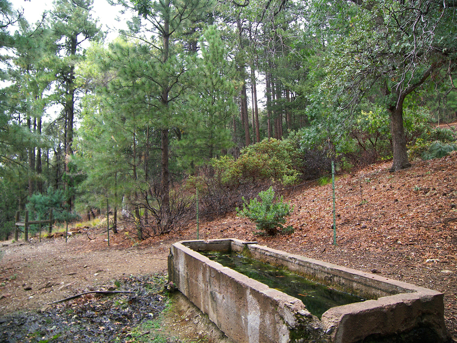
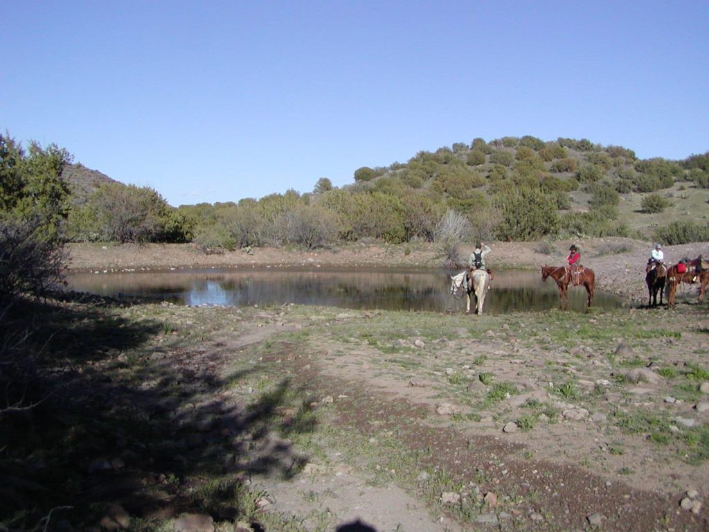
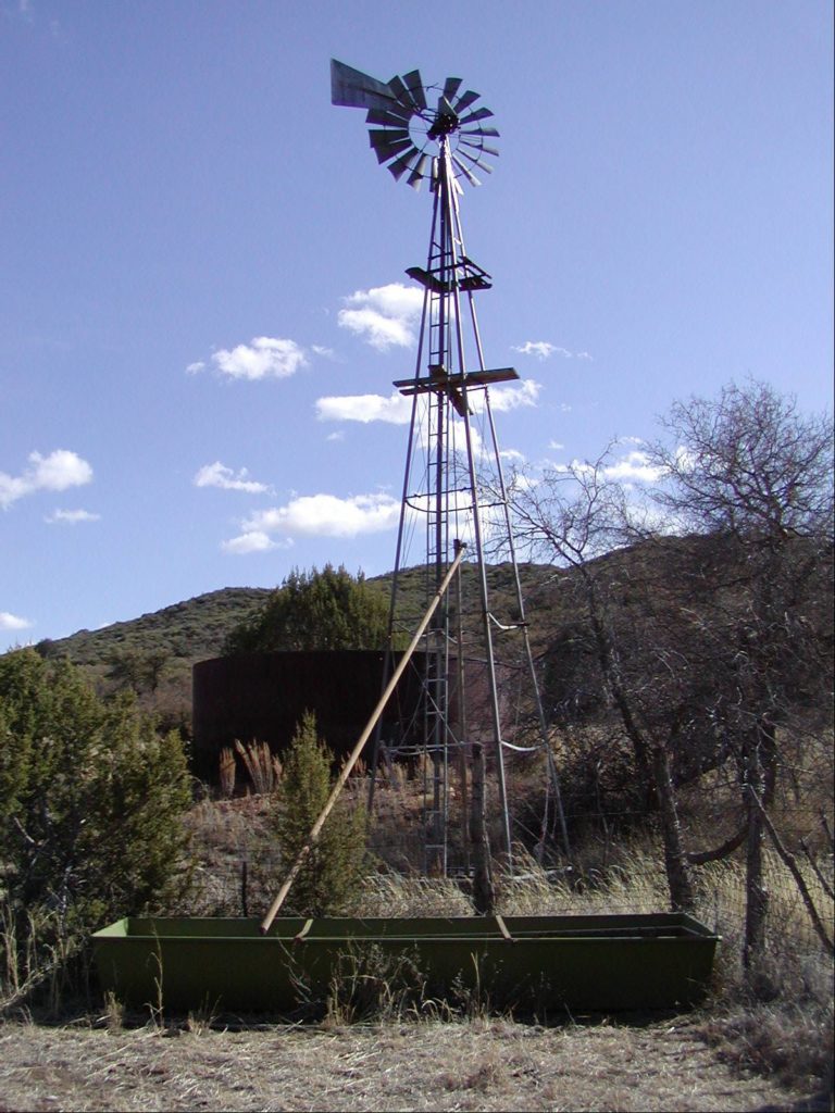
The Water Source Inventory project assists the Forest Hydrologist and other forest specialists by collecting data related to developed water sources on the forest. Throughout its history, the Tonto National Forest applied for hundreds of water rights. Developed water sources were constructed for use by livestock and wildlife. The Forest is compiling a database of current information on the developments at every water source in order to maintain these rights. Three types of developed water sources to be inventoried are: windmills, springs and stock tanks.
You can help Friends inventory developed water sources on the Tonto National Forest. From your data, the Tonto will create an accurate map of water locations and their construction. The Tonto will use this information for future environmental analyses as well as for the adjudication of water rights by the State of Arizona. You will need a 4WD high clearance vehicle on most of the Forest Roads that lead to the sites. You will also need an iPhone or Android device to run the Collector mapping software on, and a satellite GPS unit (such as a Bad Elf) capable of locating a water source development. Some sites will require short hikes. There are two ways you can participate.
With a Friend
Grab a friend as we recommend this activity for at least two participants working together. Preferably with two vehicles. Schedule data collection at your convenience.
Group Outing
Friends of the Tonto will organize one group run per month to specific areas of the forest where there are high concentrations of un-inventoried sites. Depending on the size of the group, we will split up into smaller teams and collect in neighboring areas. We will use CB radios for vehicle to vehicle communication. Many locations in the forest are out of phone contact. We plan to have a couple of loaner CB radios available.
How do I get involved?
Email Sharon. sharon@friendsofthetonto.org